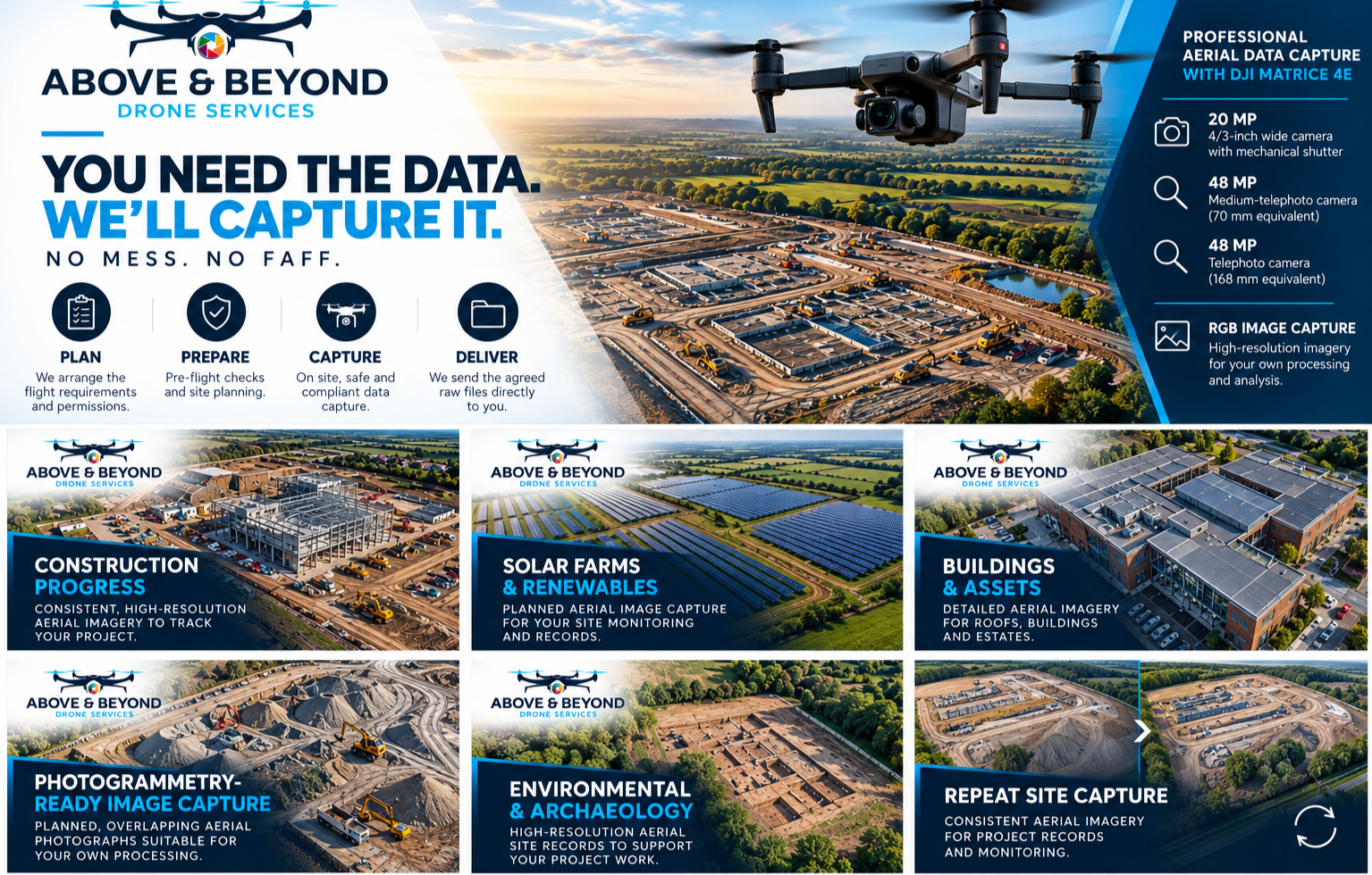
We capture the data. You drive the decisions.
Above & Beyond delivers high-accuracy geospatial data — not just imagery. Every flight is engineered around your data requirements, with reporting available as a secondary output when required.
Data Deliverables
- High-resolution aerial image acquisition
- Photogrammetry-ready image capture
- Orthomosaic image capture
- 3D reconstruction data acquisition
- RTK-enabled data capture
- PPK workflows where required
- Ground Control Point (GCP) integration where specified
- Survey and mapping project support
- Raw image dataset collection for customer processing

Get Started
Tell us about your project.
Whether you need a one-off survey or a long-term data capture programme, we scope every project around your data requirements.
Found this useful? Share it with your network.